.gutter .btPrevNextNav{
display:none;
}
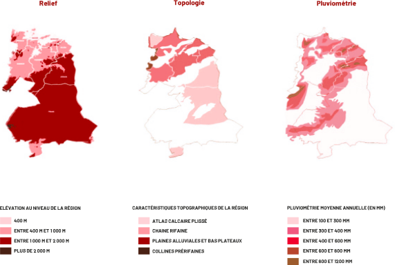
UNE TOPOLOGIE DIVERSIFIÉE ET UN CLIMAT SEMI-ARIDE
#map-relief {
width:100%;
margin: 0 auto;
}
LA RÉGION ABRITE 26% DES RESSOURCES
FORESTIÈRES DU ROYAUME
Répartition du domaine forestier de la région (par type)
window.onload = function () {
var chart = new CanvasJS.Chart("chartContainer", {
theme: "light2",
animationEnabled: true,
title: {
text: "",
fontSize: 16
},
subtitles: [
{
text: "",
fontSize: 16
}
],
data: [
{
type: "pie",
indexLabelFontSize: 18,
radius: 200,
indexLabel: "{label} {y}",
yValueFormatString: '###0.0"%"',
click: explodePie,
dataPoints: [
{ y: "81.65", label: "Nappes alfatières", color: "#d56769" },
{ y: "5.09", label: "Reboisements", color: "#f1cdce" },
{ y: "13.26", label: "Forêts naturelles", colo: "#d05558" }
]
}
]
});
chart.render();
for (let el of document.querySelectorAll(".canvasjs-chart-credit"))
el.style.visibility = "hidden";
function explodePie(e) {
for (var i = 0; i < e.dataSeries.dataPoints.length; i++) {
if (i !== e.dataPointIndex)
e.dataSeries.dataPoints[i].exploded = false;
}
}
};
Répartition du domaine forestier par province (en milliers d’hectares)
#chart-container {
height: 500px;
}
const dataSource = {
chart: {
caption: "",
subcaption: "",
xaxisname: " ",
yaxisname: " ",
formatnumberscale: "1",
plottooltext: "$dataValue $seriesName à $label",
theme: "fusion"
},
categories: [
{
category: [
{
label: "Nador"
},
{
label: "Driouch"
},
{
label: "Taourirt"
},
{
label: "Berkane"
},
{
label: "Jerada"
},
{
label: "Oujda-Angad"
},
{
label: "Figuig"
}
]
}
],
dataset: [
{
seriesname: "Forêts naturelles",
data: [
{
value: "5"
},
{
value: "12"
},
{
value: "135"
},
{
value: "37"
},
{
value: "61"
},
{
value: "16"
},
{
value: "63"
}
]
},
{
seriesname: "Nappes alfatières",
data: [
{
value: "38"
},
{
value: "16"
},
{
value: "160"
},
{
value: "3"
},
{
value: "276"
},
{
value: "3"
},
{
value: "300"
}
]
},
{
seriesname: "Reboisements",
data: [
{
value: "29"
},
{
value: "12"
},
{
value: "21"
},
{
value: "12"
},
{
value: "14"
},
{
value: "7"
},
{
value: "20"
}
]
}
]
};
FusionCharts.ready(function () {
var myChart = new FusionCharts({
type: "mscolumn3d",
renderAt: "chart-container",
width: "100%",
height: "100%",
dataFormat: "json",
dataSource
}).render();
});
Source : Programme Décennal de développement forestier et de lutte contre la désertification de l’Oriental, 2015
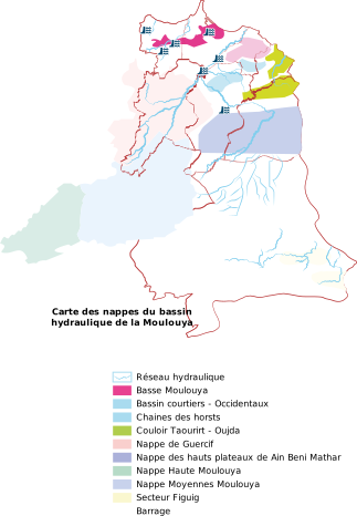
PLUSIEURS BARRAGES ET NAPPES AU NIVEAU DU TERRITOIRE
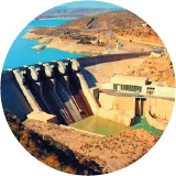
B.Mohammed V
326,7 Mm3
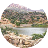
B.Sfaisif / 20 Mm3
Figuig
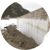
B.Rkiza / 17 Mm3
Figuig
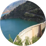
B.Oued Za
102,5 Mm3
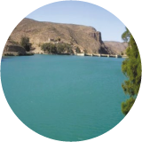
B.Machrâa Hamadi 8,1 Mm3
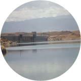
B.Injil
12,7 Mm3
#map15 {
width:100%;
margin: 0 auto;
}